
Surveying
What We Do
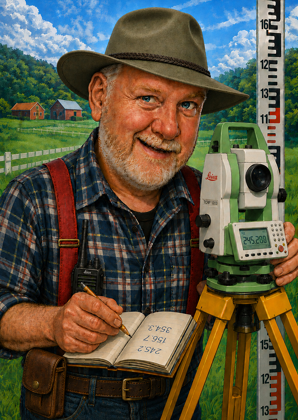
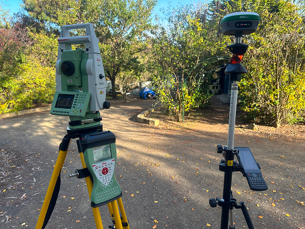
Rolf provides high‑accuracy Non‑cadastral Geospatial Survey & Measurement Service for industry and rural requirements. We use a variety of instruments from total stations to Global Navigation Satellite Systems (GNSS)
Our core services include:
- Farm Mapping — paddocks, tracks, infrastructure, and property layout.
- Contour Surveys — elevation, drainage, and slope analysis.
- Water Infrastructure Mapping — dams, bores, pipelines, troughs.
- Fence Setout — accurate alignment and peg placement.
- Centre Pivot Planning — radius, coverage, and layout optimisation.
- GIS Reporting — digital maps and spatial data for planning.
- General measurement services- distances, angles, areas and volumes.
Why Accurate Surveys Matter:
Good data saves time, money, and frustration. My surveys help people:
- Plan property improvements with confidence.
- Improve water management and reduce wet areas.
- Optimise cropping and grazing efficiency.
- Communicate clearly with staff, contractors, and consultants.
- Support WHS, biosecurity, and compliance.
- Understand terrain for fencing, drainage, and infrastructure decisions.
- Provide accurate measurements and data information.
We do not undertake cadastral property boundary surveys. You will need to employ the services of a ‘registered land surveyor’ for any issues dealing with legal boundary locations.